3D scanning technology has revolutionized numerous industries, enabling precision, efficiency, and cost-effectiveness. 3D scanning allows businesses to streamline operations, improve product development, and enhance quality control by capturing detailed three-dimensional representations of objects, environments, or even entire buildings. From engineering and healthcare to entertainment and heritage preservation, this technology is transforming the way professionals work across various sectors. This article will explore the different industries that benefit from 3D scanning services and how they utilize this cutting-edge technology.
1. Manufacturing and Engineering
The manufacturing and engineering industries rely heavily on precision and efficiency, making 3D scanning indispensable. Whether streamlining product development, ensuring quality control, or reverse engineering legacy components, this technology enables businesses to optimize their processes. By integrating 3D scanning, companies can reduce waste, lower costs, and accelerate production cycles, giving them a competitive edge in an increasingly demanding market.
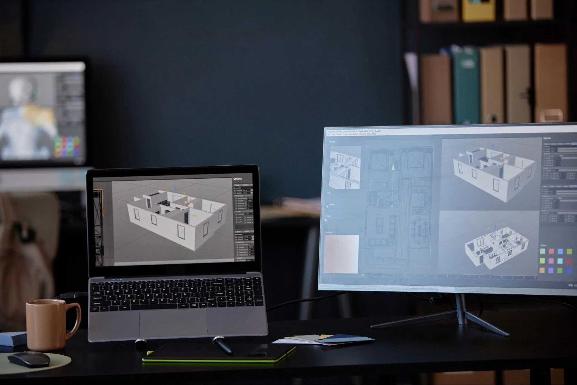
Product Design and Development
One of the most significant advantages of 3D scanning in manufacturing and engineering is its ability to aid in product design. Engineers and designers use 3D scanners to create highly accurate digital models, which can then be analyzed, modified, and tested virtually before production. This design and development feature eliminates costly errors and reduces the time required for prototyping.
Quality Control and Inspection
Manufacturers use 3D scanning to ensure their products meet exact specifications. By comparing a scanned object to its original CAD (Computer-Aided Design) model, manufacturers can identify deviations and rectify issues before mass production. This level of precision is crucial in industries such as automotive and aerospace, where even minor flaws can lead to significant safety concerns.
Reverse Engineering
When spare parts or components are no longer in production, companies turn to 3D scanning for reverse engineering. This process involves scanning an existing part to create a detailed 3D model, which can then be replicated or modified as needed. These models are instrumental in the aerospace and automotive industries, where maintaining legacy equipment is essential.
2. Healthcare and Medical Applications
The healthcare industry has seen remarkable advancements due to 3D scanning technology, which allows personalized treatments and improved patient outcomes. Medical professionals use 3D scanning to enhance precision and efficiency in everything from custom prosthetics to advanced surgical planning. This innovation improves patient care and reduces medical device and implant costs and production time.
Prosthetics and Orthotics
3D scanning has transformed the medical field by allowing for the precise customization of prosthetics and orthotic devices. Traditional methods of creating prosthetic limbs and orthotics involve molding and casting, which can be time-consuming and imprecise. With 3D scanning, healthcare professionals can create patient-specific devices that offer a perfect fit, improving comfort and functionality.
Surgical Planning
Surgeons use 3D scanning to create detailed patient anatomy models before performing complex procedures. These models allow for better preoperative planning and reduce the risk of complications during surgery. Additionally, 3D printing combined with 3D scanning enables the production of patient-specific implants.
Dentistry
The dental industry has also adopted 3D scanning to create precise digital impressions of patients' teeth. These impressions are used in orthodontics, restorative dentistry, and the production of custom dental prosthetics such as crowns, bridges, and dentures.
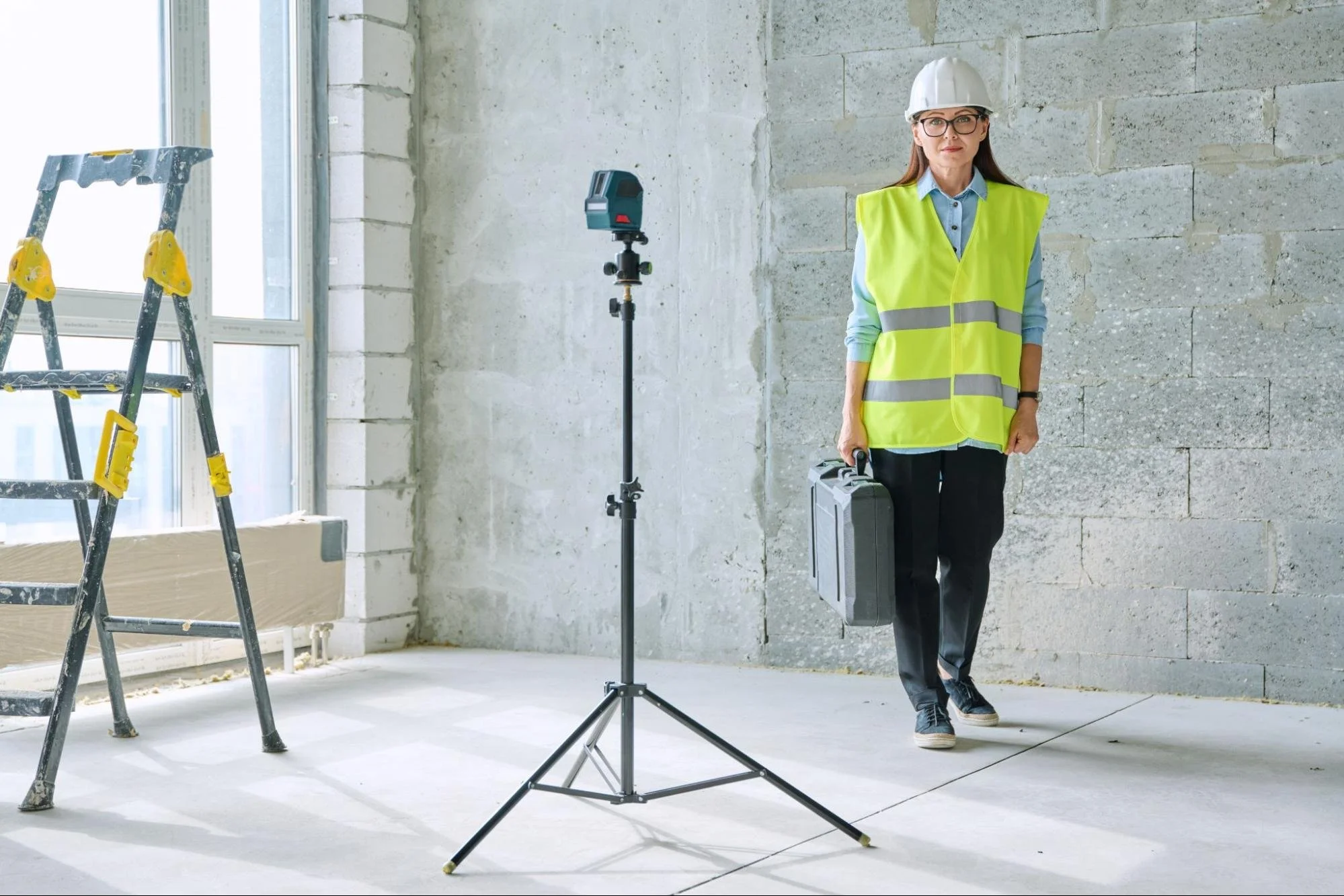
3. Architecture, Construction, and Civil Engineering
3D scanning transforms the architecture and construction industries by improving accuracy and reducing project errors. Professionals can create detailed digital models for planning, renovation, and compliance by capturing precise measurements of existing structures and construction sites. This technology enhances efficiency, supports sustainable building practices, and ensures that projects are completed with greater precision and fewer costly mistakes.
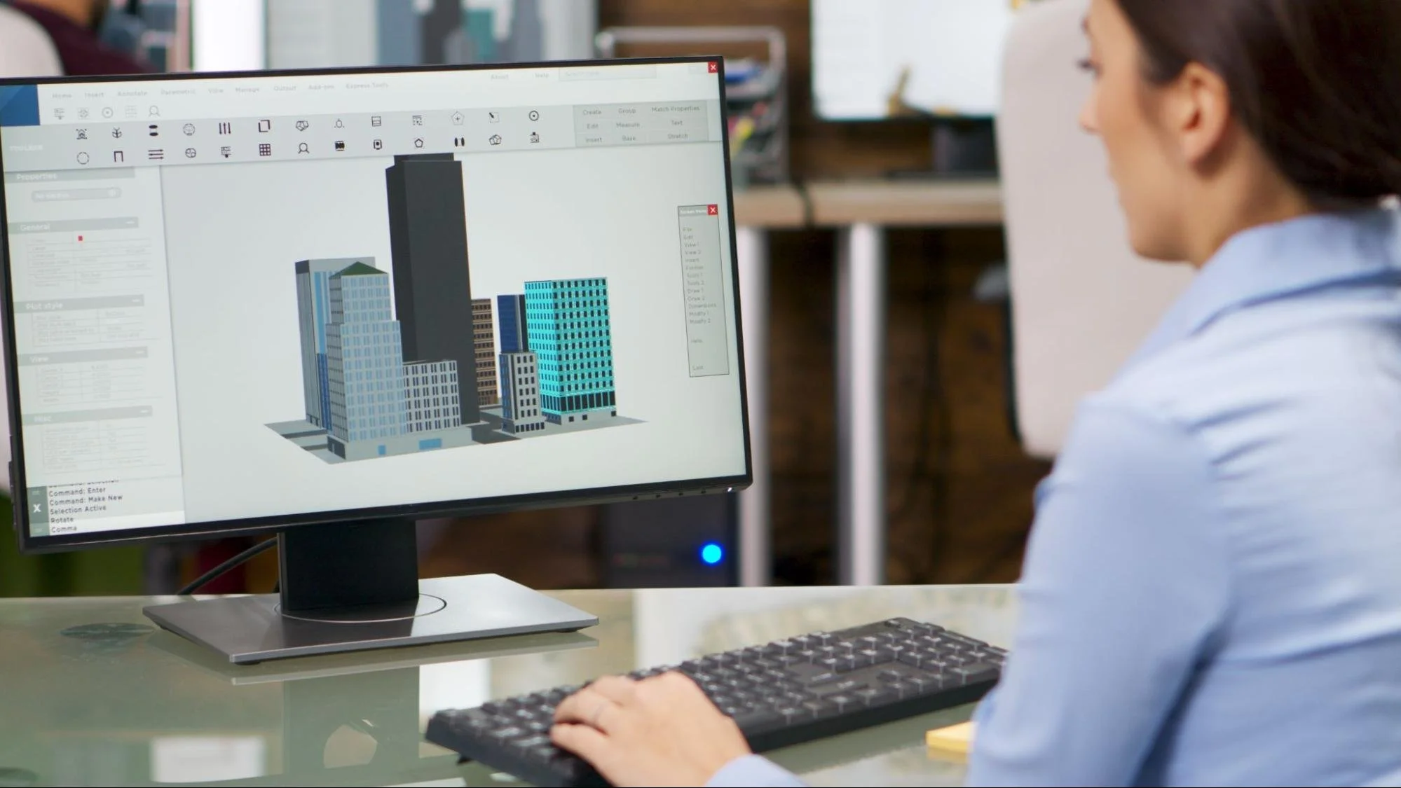
Building Information Modeling (BIM)
3D scanning is crucial in the construction industry because it aids in Building Information Modeling (BIM). By scanning existing structures or construction sites, architects and engineers can create detailed digital models that improve planning, reduce errors, and enhance collaboration among teams.
As-Built Documentation
For renovation and restoration projects, 3D scanning captures accurate measurements of existing buildings. As-built surveys and documentation ensure that modifications and restorations align with the original structure, preserving architectural integrity.
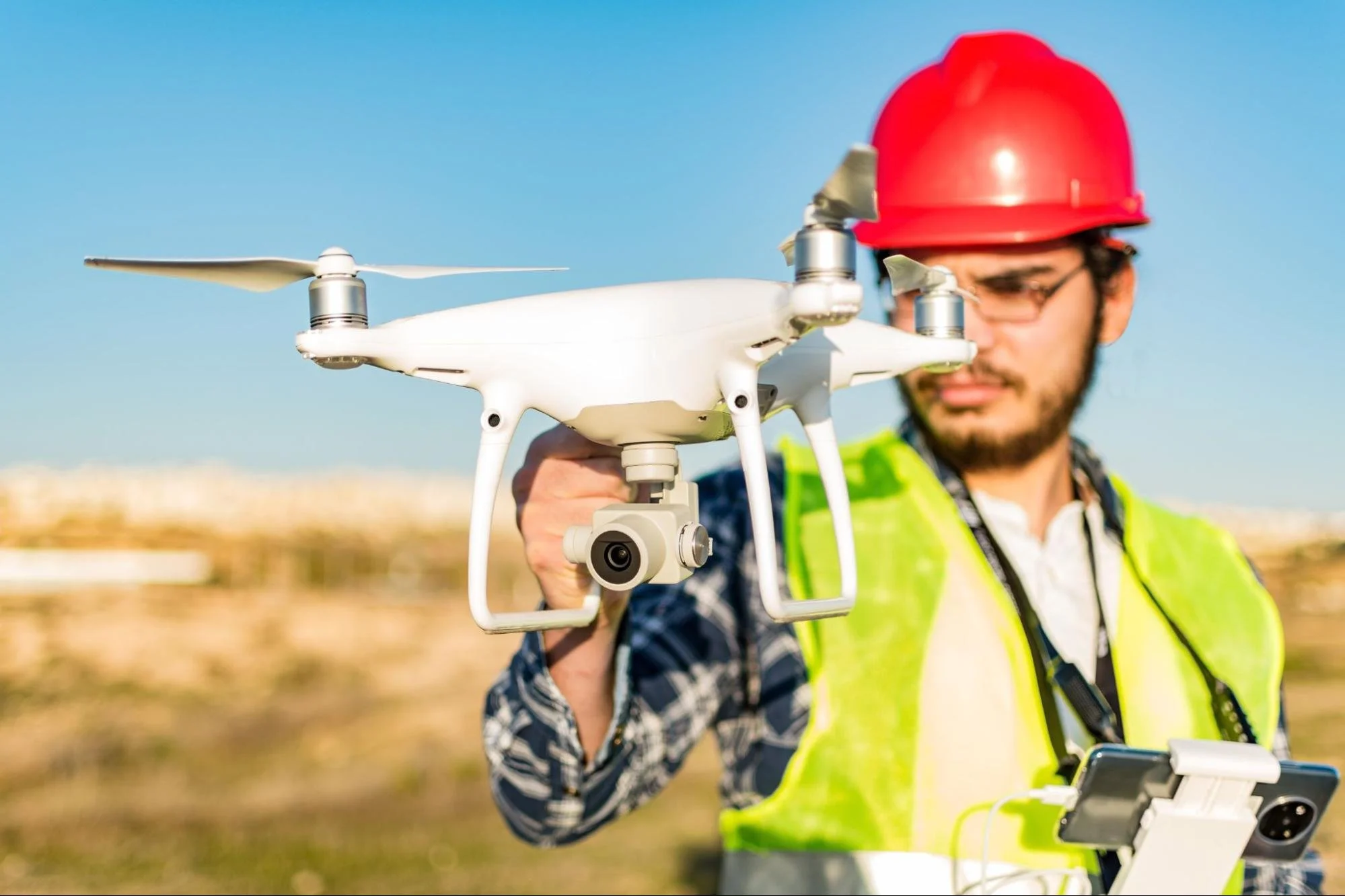
Land Surveying
Surveyors use LiDAR-based 3D scanning to accurately map terrains, buildings, and landscapes. This data is essential for urban planning, infrastructure development, and environmental assessments.

4. Automotive and Aerospace
In industries where precision and safety are paramount, 3D scanning is crucial in vehicle and aircraft design, testing, and maintenance. By creating detailed digital models, engineers can optimize aerodynamics, improve efficiency, and ensure the integrity of every component. Whether it's rapid prototyping or inspecting wear and tear, 3D scanning helps automotive and aerospace professionals maintain the highest quality and performance standards.
Vehicle Design and Prototyping
The automotive and aerospace industries rely heavily on 3D scanning to design and prototype new vehicles and components. By creating highly detailed digital models, manufacturers can test aerodynamics, optimize designs, and accelerate production cycles.
Maintenance and Repairs
In aviation, where precision is critical, 3D scanning is used to inspect aircraft components, identify wear and tear, and ensure that maintenance procedures are carried out with utmost accuracy. Similarly, in the automotive sector, 3D scanning aids in vehicle restoration and aftermarket modifications.
5. Film, Animation, and Gaming
The film, animation, and gaming industries have embraced 3D scanning to create highly realistic digital assets and immersive experiences. This technology allows creators to capture real-world details precisely, ensuring lifelike representations in digital environments. 3D scanning enhances visual storytelling and streamlines production, from special effects in blockbuster films to interactive gaming landscapes.
Character and Environment Scanning
The entertainment industry extensively uses 3D scanning to create lifelike characters and environments. Game developers and filmmakers scan real-world objects, people, and landscapes to produce hyper-realistic digital assets for video games, animated movies, and special effects in live-action films.
Virtual Reality (VR) and Augmented Reality (AR)
With the rise of VR and AR applications, 3D scanning is essential for generating immersive environments. Museums, real estate firms, and even fashion brands use 3D scanning to create interactive experiences for their audiences.
6. Cultural Heritage and Archaeology
Preserving historical artifacts and heritage sites is a priority for archaeologists and museum professionals, and 3D scanning has become an essential tool in this effort. By capturing accurate digital replicas of artifacts and structures, experts can ensure that invaluable historical data is documented for future generations. This technology also aids restoration projects, allowing researchers to analyze and reconstruct damaged or eroded relics with unmatched precision.
Artifact Preservation
Museums and archaeologists utilize 3D scanning to document and preserve historical artifacts and monuments. This documentation and preservation allow for digital archiving, restoration planning, and even 3D printing of replicas for public display.
Site Documentation
Ancient ruins and heritage sites are often fragile and susceptible to environmental damage. 3D scanning lets experts digitally document these sites, aiding research, restoration, and conservation efforts without physical intervention.
7. Retail and E-Commerce
The retail industry has embraced 3D scanning to enhance customer experiences and optimize product customization. From virtual fitting rooms to tailor-made clothing and accessories, brands use this technology to provide more personalized shopping options. By integrating 3D scanning with augmented reality (AR), companies offer interactive digital experiences that improve customer satisfaction and drive sales.
Customization and Personalization
Retail brands leverage 3D scanning to offer customized products, from tailored clothing to personalized accessories. Companies can scan customers' measurements to produce perfectly fitted garments and footwear.
Virtual Try-On
With the integration of AR, retailers use 3D scanning technology to enable virtual try-on experiences. Customers can see how eyewear, jewelry, or makeup will look on them before purchasing, enhancing the online shopping experience.
8. Education and Research
3D scanning has revolutionized education and research by providing highly detailed digital models for study and analysis. In academic institutions, students can engage with virtual replicas of historical artifacts, biological specimens, and engineering models, enriching their learning experience. Researchers across various fields leverage 3D scanning to conduct in-depth analyses, document rare findings, and share data with global collaborators.
Interactive Learning
Educational institutions incorporate 3D scanning to enhance interactive learning experiences. Students can explore 3D models of biological specimens, historical artifacts, or engineering components in virtual environments, making complex subjects more accessible.
Scientific Research
Researchers use 3D scanning in various scientific fields, from paleontology to forensics. It helps document rare fossils, analyze biological specimens, and accurately reconstruct crime scenes.
How 3D Scanning Services Benefit Multiple Industries
3D scanning technology continues to reshape multiple industries by providing accurate, cost-effective, and efficient solutions for various applications. Whether it's improving manufacturing quality control, revolutionizing medical procedures, enhancing entertainment visuals, or preserving cultural heritage, 3D scanning has proven invaluable across numerous fields. As the technology evolves, its adoption will only expand, offering even more innovative applications in the future. Businesses that embrace 3D scanning stand to gain significant advantages in precision, efficiency, and competitiveness in their respective industries.
Check out the LNE Survey blog for more insights on how 3D scanning and other advanced surveying technologies are transforming industries. Stay informed with expert articles, industry updates, and practical applications of cutting-edge scanning solutions.